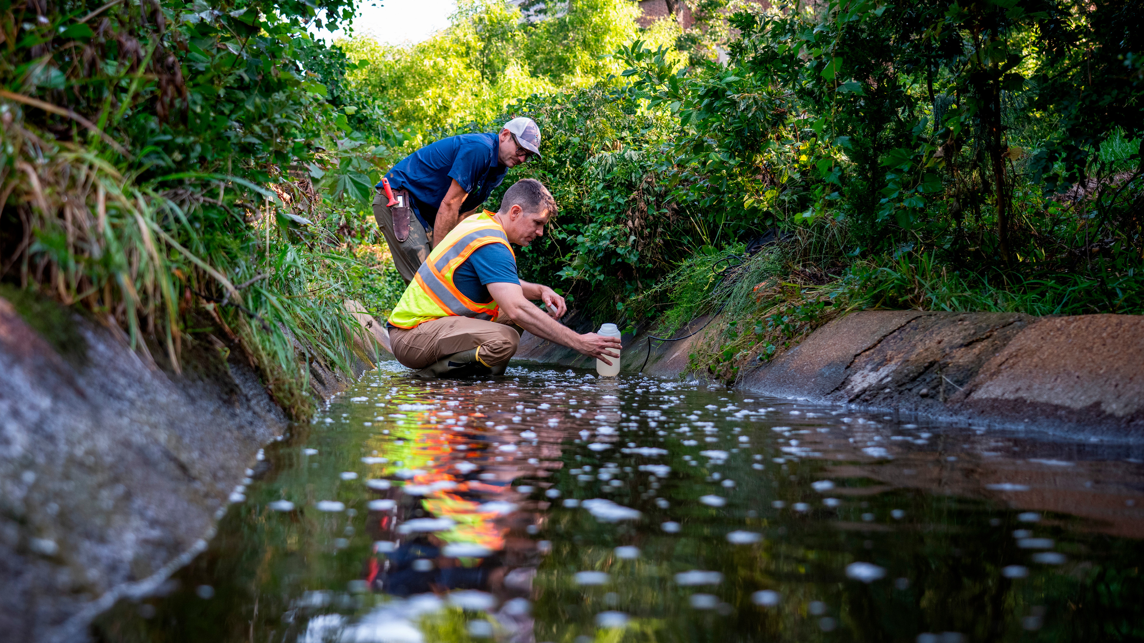
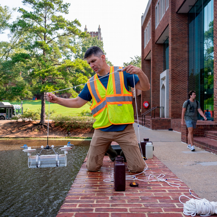
BIOLOGY PROFESSOR JONATHAN RICHARDSON leaned over the brick parapet in front of Tyler Haynes Commons and dangled a black probe — looking something like a hair-curling iron — by its long electric cord until it dropped into the water of Westhampton Lake. In knee-high rubber boots and a fluorescent yellow and orange safety vest, surrounded by an assortment of gadgets and large plastic bottles, the associate professor presented an unusual appearance on this bright April morning. But short of a few curious glances, students mostly hustled past or lounged on the Commons steps chatting, enjoying the warmth and beauty of an early spring day, with a breeze wafting softly across the lake.
Perhaps all of this has become a familiar campus sight by now — the gear and bottles and probe, all accoutrements of an ongoing data-collection project. Richardson was literally taking the temperature of the lake at that moment, along with several other measures, like dissolved oxygen and pH, and “turbidity,” or “the amount of things floating in the water that block light,” he explained.
You can tell he’s a natural teacher. How many times has he outlined — as he was now once again — these basic measures of water quality, or defined “nutrients” or “water column,” or “flocculant”? Certainly more than he can possibly count. But even as he busied himself fiddling with the bottles and checking the digital-meter readings from the probe and unpacking and repacking tools, he detailed every step with no hint of the rote or the repetition-weary in his umpteenth explanation of what he was testing, and why it matters to gather information at more than one depth in the water, and how the water changes as it flows under Tyler Haynes Commons.
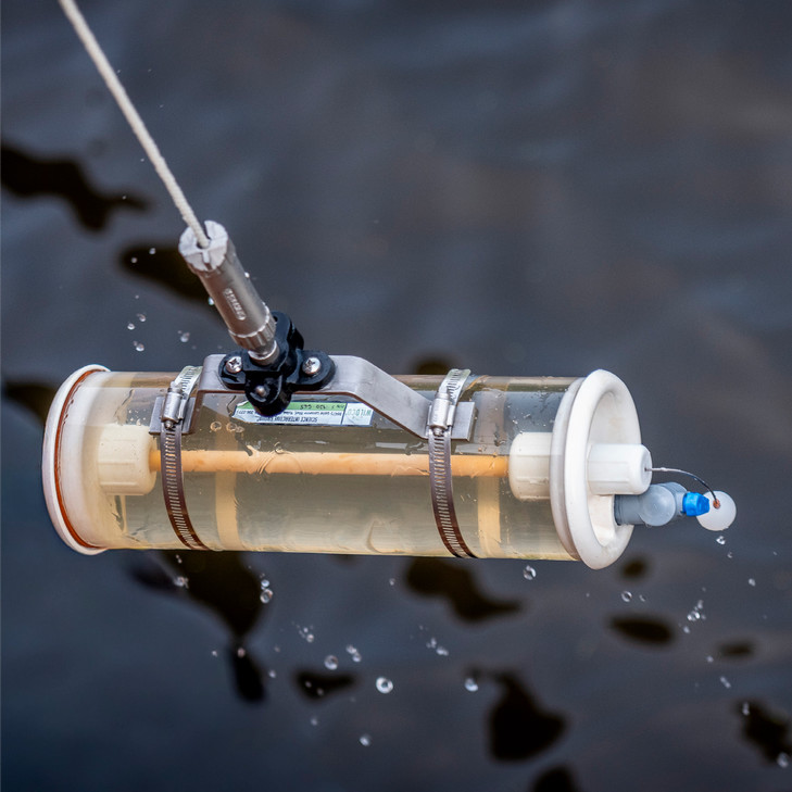
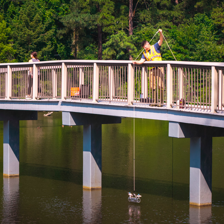
After he fished the probe out of the water, he dropped in a clear plastic tube, open at both ends and attached to a rope. Once it was submerged, he sent a weight hurtling down the rope. Below the water, it hit the tube, triggering a mechanism that snapped it shut and allowing him to haul out a sample of lake water the color of very weak tea and portion it into a couple of bottles. These would go to labs at Virginia Commonwealth University. There, the water will be analyzed for a variety of factors, including disease-causing E. coli and elements like nitrogen and phosphorous that act as fertilizers and can fuel algae blooms in warm weather.
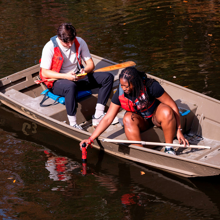
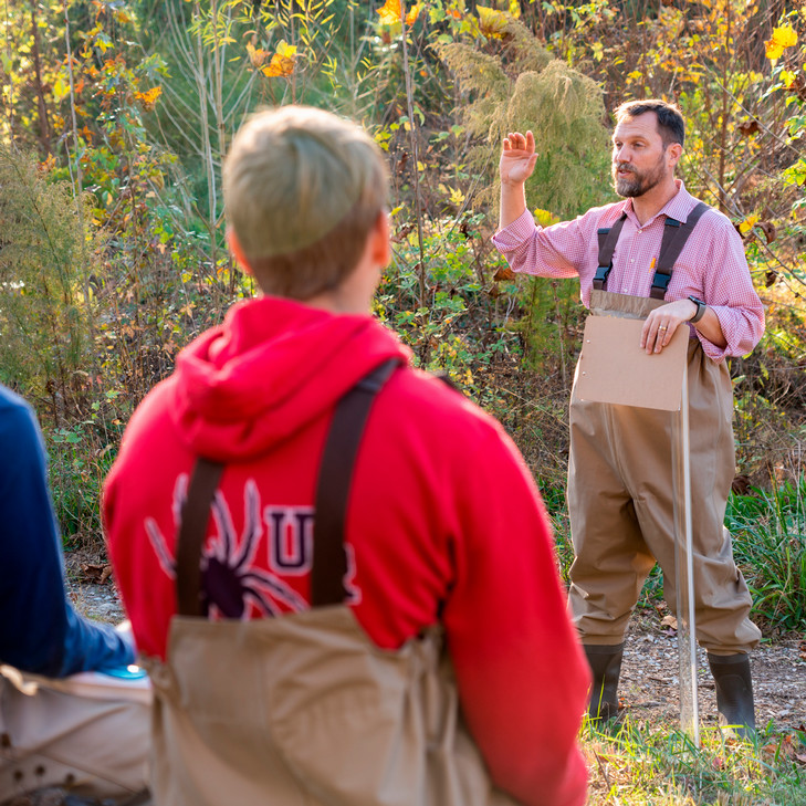
Every fall since 2021, Richardson has centered the lake in his biology department class Aquatic Ecology, getting his students — many of whom, he says, may have had little or no experience actively engaging with the outdoors — out of the classroom and on the water to do work just like he was doing that day. And throughout the year, other student volunteers help continue the monitoring and sampling. As a physician might assess weight, blood pressure, cholesterol, blood sugar, and other indicators to create a profile of someone’s health, together Richardson and his students are building a comprehensive data set to understand the health of Westhampton Lake. In addition to that, the professor has tapped into how much students care about the lake and how it can serve as a living laboratory in the middle of campus, where the abstractions of the classroom come to life through meaningful and memorable hands-on learning.
“It’s such a life-giving venue for learning with the students,” he says.
From boundary to gathering place
WHEN CAMPUS LEADERS MADE PLANS IN THE EARLY 20TH CENTURY TO MOVE THE INSTITUTION TO ITS CURRENT LOCATION, they cast the lake in a role as much symbolic as bucolic. It would be the scenic centerpiece for a new collegiate enterprise to be constructed on rolling hills just to the west of Richmond. But the lake would also serve as an unmistakable divide, a boundary between the men of long-established Richmond College — whose campus was to be “built anew” on this site — and the women of the soon-to-be-formed Westhampton College.
“A pleasing and restful boundary,” Frederic Boatwright called the lake for Baptist readers of The Religious Herald in 1910, writing of the trustees’ recent acquisition of the land. Waxing lyrical in praise of its merits, he wrote that “great white oaks and ancestral forest pines overhang the lake” and “the brook that feeds the lake sings a merry song as it leaps over granite boulders and races around the feet of towering trees.”
In reality, the lake and its surrounds presented a distinctly less romantic appearance upon the trustees’ first inspection of the proposed site in February 1910. Formerly a mill pond, the lake more recently had been the setting for a failed attempt at an amusement park. What greeted Boatwright and the trustees on their visit on a gloomy winter day was an empty pavilion overlooking a lake littered with the branches of felled trees. A lakeside bandstand and boathouse stood as forlorn reminders of abandoned dreams.
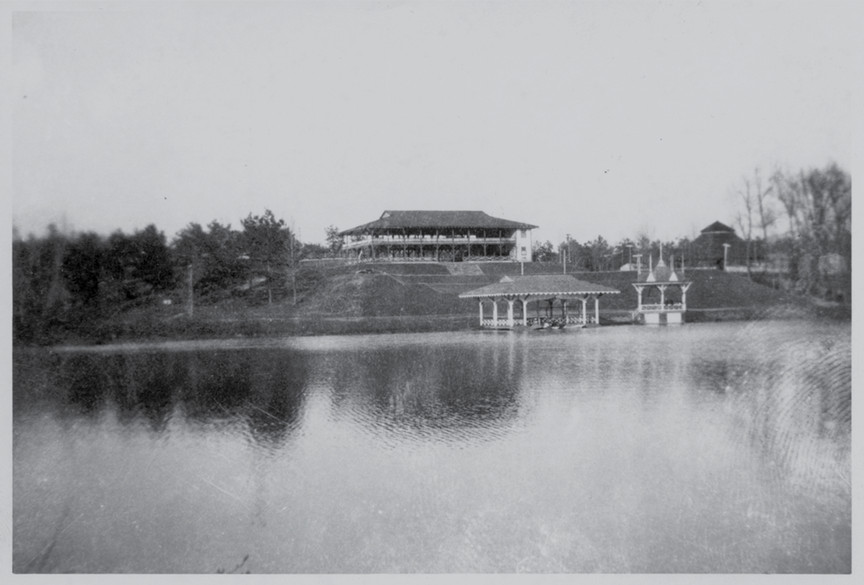
Where idle amusements had faltered, however, a new era for the institution would not be denied. Soon, the new campuses of Westhampton and Richmond colleges welcomed students for the first time, two schools united in educational purpose, resolutely separated by water. But even if “the other side of the lake” became a kind of shorthand reference on each campus for the residents and doings of the other, the lake itself would come to serve as beloved common ground for generations of students to follow.
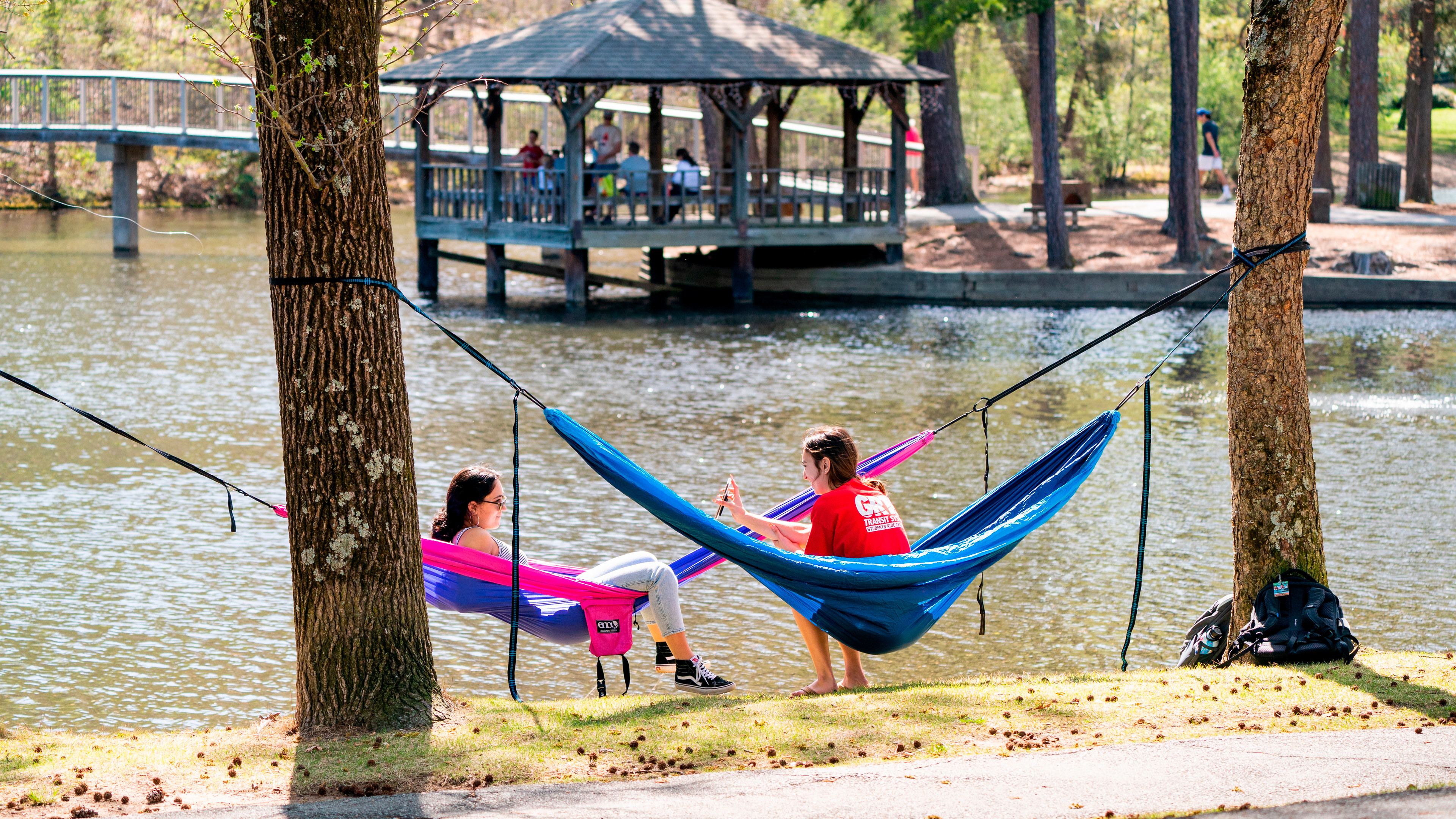
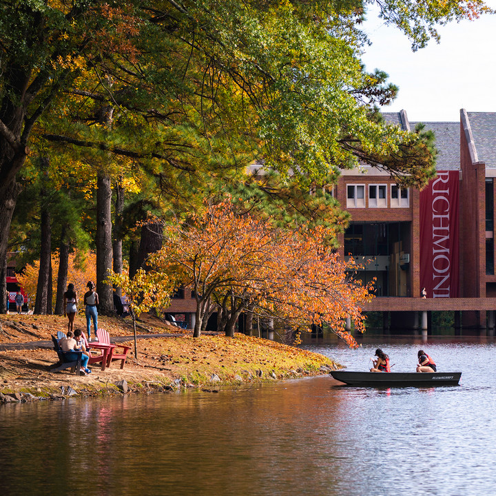
Today, ask anyone who has spent any time on campus — students, alumni, faculty, staff — and they’ll probably have a Westhampton Lake story to tell. Maybe it’s a particular memory from a particular day. Maybe it’s a half-remembered story from a parent or grandparent, or a bit of campus lore handed down from class to class.
“I know so many people who find peace and joy and a space of gathering at the lake,” says Katie Baker, ’24, who as a student volunteered to help with water-quality monitoring. “It is the heart of UR’s campus.”
Building a scientific portrait of the lake
HOW DO YOU MEASURE a lake?
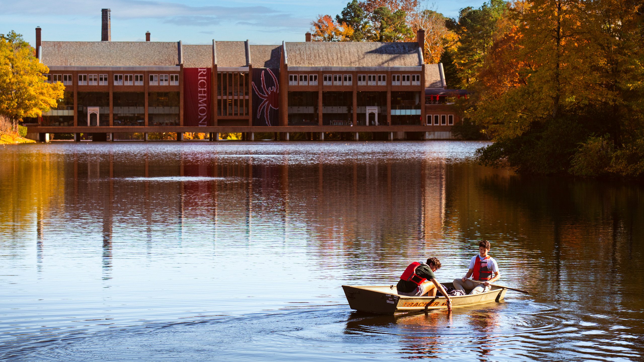
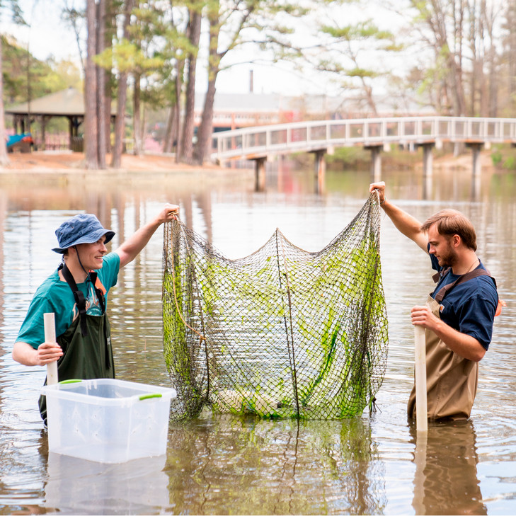
At first, Richardson’s students were donning waders and conducting water-quality testing at the perimeter of the lake. However, he says, “One thing I talk to the students about is that lakes are very different along the shoreline versus in the middle.” In 2024, he started getting students out on the lake in boats. It took an enormous amount of planning and logistical coordination to ensure all the necessary safety protocols, obtain permissions and the necessary equipment (including lifejackets and two small, flat-bottomed boats), and organize all the students and equipment together at the lake during designated class hours.
The results, he says, have been worth the effort.
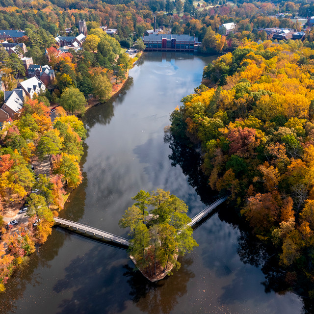
First, there’s the valuable data his students collect. Because the lake is part of a dynamic ecosystem within the campus grounds, it’s not enough to gather information at any single point. Instead, both during the fall class and throughout the year with the help of student volunteers, data is collected from the two small streams that feed the lake at the College Road end, as well as at the footbridge and the Commons, and in Little Westham Creek below the spillway and as it flows through the university’s Eco-Corridor on its way to the James River.
Westhampton Lake 101
- 14 acres
- 15–18 feet maximum depth
- Connected to the James River and Chesapeake Bay watershed
- Home to fish, turtles, otters, muskrats, heron, geese, ducks, and other species
- Continuous monitoring by Aquatic Ecology classes since 2021 at multiple sampling locations
- Approximately 600 new depth mapping data points collected by students in the last three years
“It’s such a life-giving venue for learning with the students.”
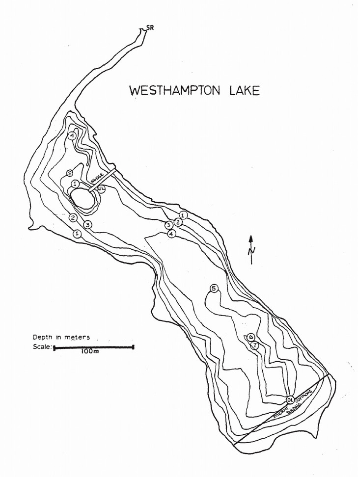
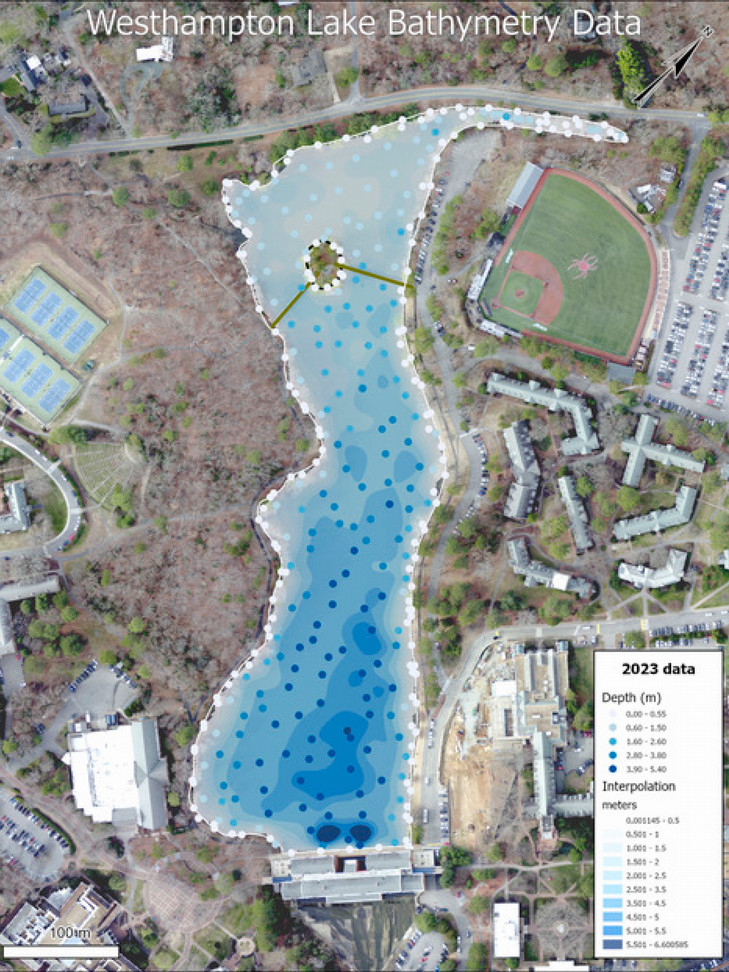
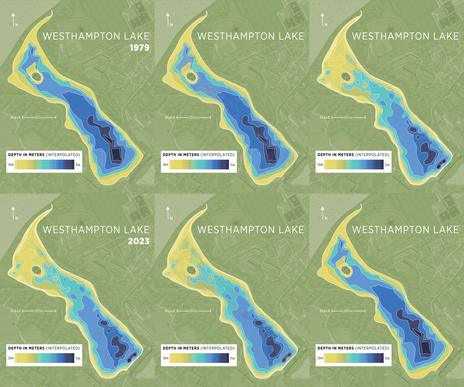
The information isn’t merely intellectually interesting. Particularly during heavy rains, the feeder streams and culvert systems on campus wash sand, dirt, and other debris into the lake. Over time, these accumulate on the lake bottom. Every summer, the university lowers the lake’s water level and dredges out some of this accumulation to try to keep the lake from silting up. As Richardson’s students continue the mapping year after year, the university will be able to track changes in lake depth to determine the effectiveness of the dredging.
The educational payoff
BEYOND THE DATA, THE EDUCATIONAL VALUE of the research is immeasurable, Richardson says, and more than outweighs the logistical challenges that go with the fieldwork. You can talk all you want in a classroom about depth stratification and how the temperature and oxygen levels change from the surface to the bottom and what that means for the biology of a lake system, “but then they get out on the water, stick that probe in, and drop it from top to the bottom, and then they see those things that we had talked about,” Richardson says. That’s the lightbulb moment.
“To apply the concepts of what we had been learning in Aquatic Ecology to something right here on campus,” says Amara Thohan, ’26, “hands down, it’s the most unforgettable lab course I’ve ever taken.”
What’s more, “When the students get out there, it’s visceral how special it is to them,” Richardson says. “They really treasure that opportunity to provide some actual data they know will be used by the university to manage the lake in better ways.”
Finally, there’s a public-science piece. When the students are out testing, other students and passersby are interested to know what’s going on. “We are a touchpoint for people to learn more,” Richardson says. “We are a way for people to ask questions about what they don’t even know they are curious about.”
How UR researchers study the lake
Faculty and students collect data about:
- Water temperature
- Dissolved oxygen levels
- pH levels
- Turbidity
- Nitrogen levels
- Phosphorus levels
- Bacterial and algae concentrations
- Lake-depth measurements
Why it matters:
- Provides experiential research opportunities
- Tracks ecosystem health
- Guides lake management decisions
- Supports restoration projects
“Hands down, it’s the most unforgettable lab course I’ve ever taken.”
Nick Parlavecchio, ’27, is one of the student volunteers. He fell under the spell of Westhampton Lake during his pre-college visit. Even then, he was already interested in the interaction between aquatic and terrestrial ecosystems, and there, right on campus, was a perfect example of that interface to be observed. Now, when he’s conducting water testing, educating other students is one of the things he enjoys about the process. “Walking around campus in giant waders and a big briefcase and a ton of bottles,” he says, “I do get asked.”
Another unexpected plus from his volunteering? Last summer he had an internship in Maine, and one day they had to go out and get water samples, “My mentor didn’t know how to do it, and I was like, ‘Oh my goodness, I know exactly what to do.’”
In spring 2026, he was one of three students awarded the Goldwater Scholarship, one of the most prestigious honors for undergraduates pursuing careers in science, mathematics, and engineering. His award announcement focused on another longstanding research project of Richardson’s that he’s involved in, the study of urban rat populations.
Protecting Westhampton Lake for the future
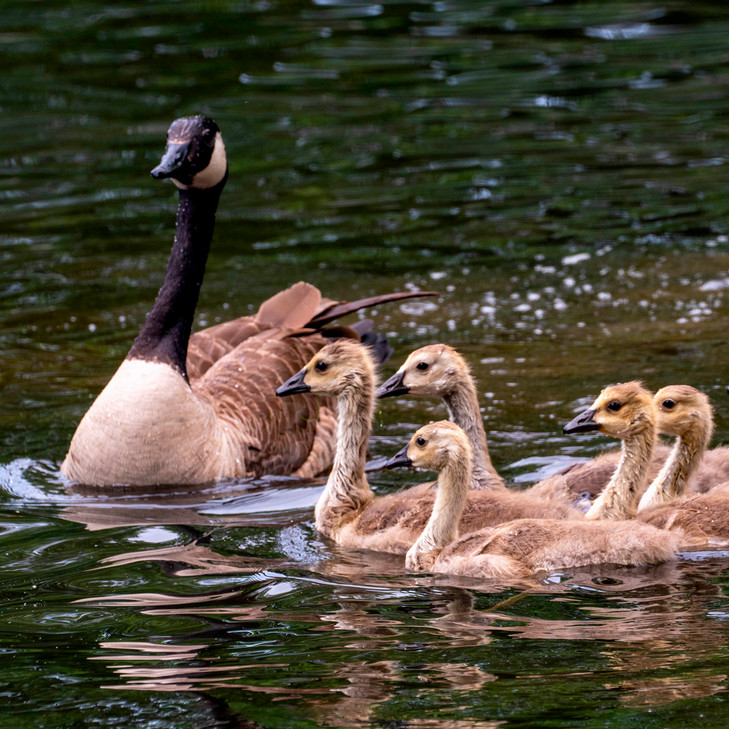
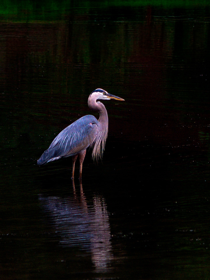
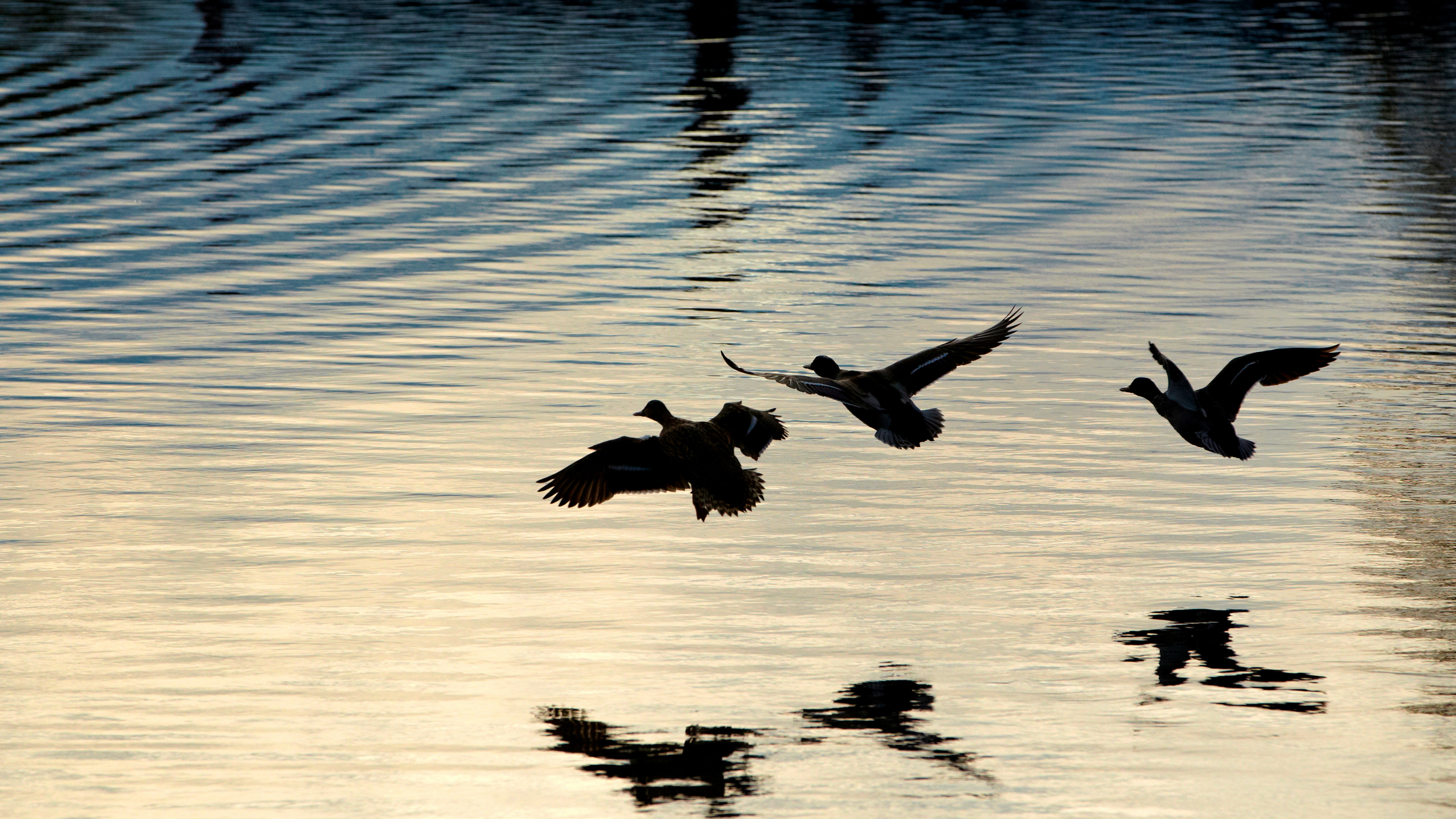
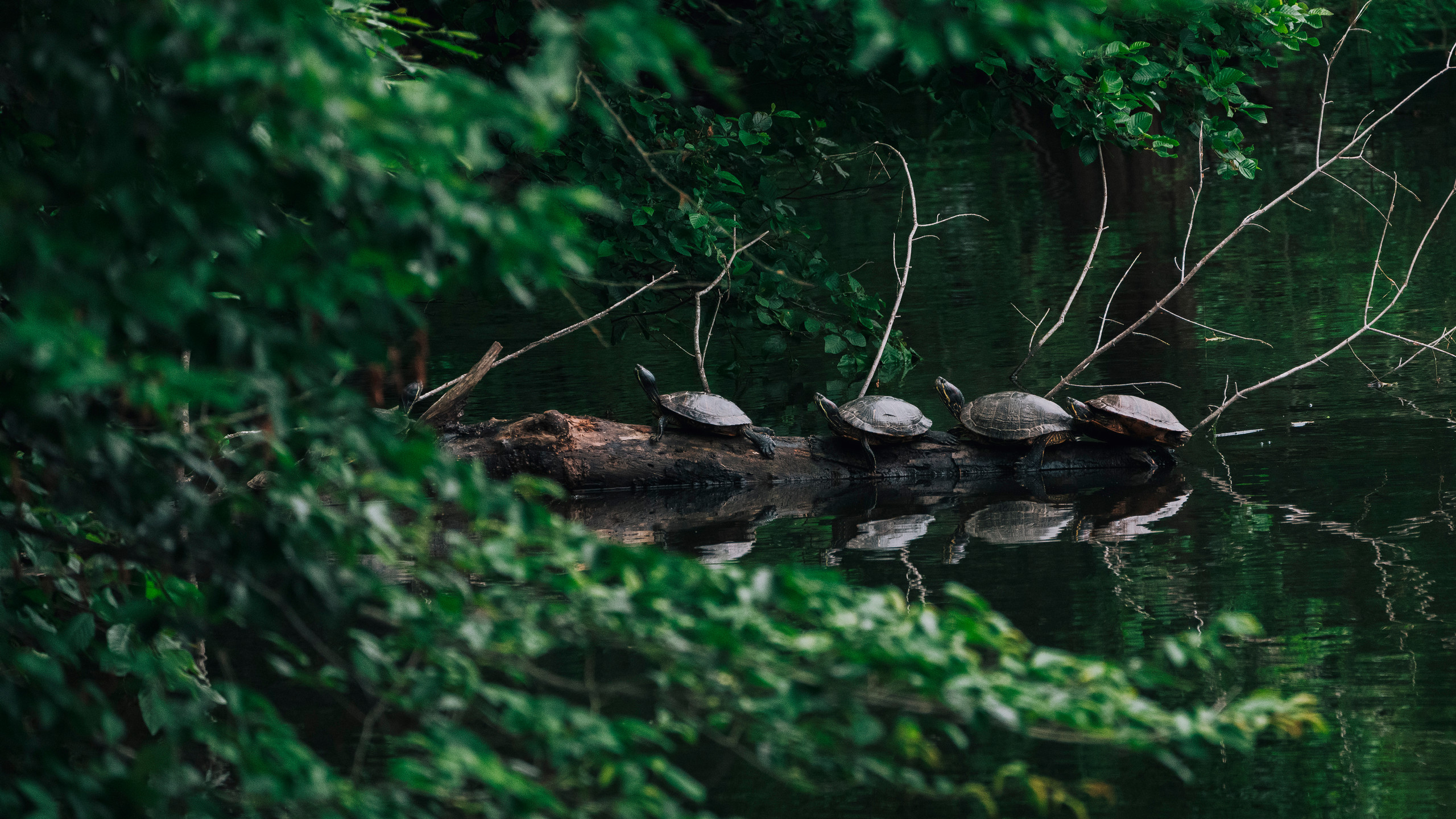
IN ALL, WESTHAMPTON LAKE covers 14 acres. Walk the perimeter on a warm day, and you can spot turtles sunning on a log and cormorants fishing in the water, mallard ducks and Canada geese paddling purposefully or resting on the banks, minnows darting in the riffles of the feeder streams, plump bullfrogs plopping into the shallows near the Commons when startled. If you’re lucky, you might catch a glimpse of one of several hubcap-sized snapping turtles basking just below the surface under the footbridge or a northern water snake blending almost invisibly into the murk of submerged leaves and twigs along the shore. A river otter has been known to visit in late fall, and muskrats have been seen as well. When the water is high, blue herons will sometimes gather in the spillway, waiting patiently for fish to wash over the dam. The late Triceragoose, the lake’s temperamental unofficial ambassador, was for years an icon of her own.
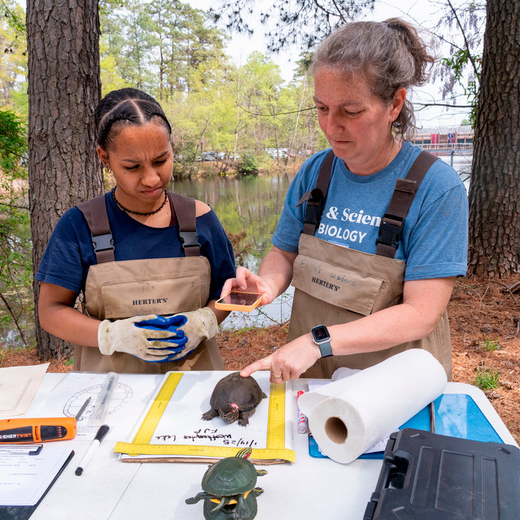
There are surprises, too. Senior teaching faculty member Emily Boone has been bringing her introductory biology and ecology classes to the lake for nearly 15 years to safely trap and count turtle species. In addition to the turtles — snapping, musk, painted, river cooter, and red-eared sliders (an introduced species native to the Mississippi river region) — the class once caught a very large American eel in one of the traps. Hatched in the Sargasso Sea hundreds of miles off the East Coast, the eel somehow had found its way into the Chesapeake Bay and up the James River, into the Kanawha Canal, thence into Little Westham Creek, over the spillway (eels can slither short distances on dry land), and into the lake.
“It was huge,” recalls Parlavecchio, who was on hand for the occasion, spreading his arms wide.
As living evidence of Westhampton Lake’s connection to the vast Chesapeake Bay watershed, the eel also suggests the challenges for the university in trying to be a responsible steward when it’s essentially the middleman within a much larger aquatic ecosystem. Though the lake’s feeder streams originate far from campus, whatever washes into them on their journey toward the university — roadway salts and oils, leaves and yard waste, lawn fertilizer and garden pesticides, trash, lost balls, random debris — ultimately washes into Westhampton Lake, where it compromises the health and the scenic beauty of the water. That’s what all that water-quality monitoring has revealed in hard data, from high levels of sediments and E. coli after heavy rains to low levels of oxygen, particularly in warmer months when excess organic materials are decomposing at the lake bottom. Eventually, some of what washes into the lake washes out again as the water continues its journey down Little Westham Creek into the James River and on to the bay.
Though it might not be obvious to casual observers, the lake requires a lot of caretaking, explains Rob Andrejewski, the university’s sustainability director. “There’s a lot going on behind the scenes,” he says. But since the new campus plan was completed in 2025, “we’ve been looking at the lake as a site of potential enhancements, to really manage both the water quality and think about what we want this place to be moving forward.”
There’s no simple solution to address the challenge of water-quality management, but one existing project, the Eco-Corridor, and an upcoming plan to address bank erosion in Westhampton Lake, demonstrate the university’s commitment to a thoughtful, comprehensive approach that balances utility, conservation best practices, and the well-being of the campus community.
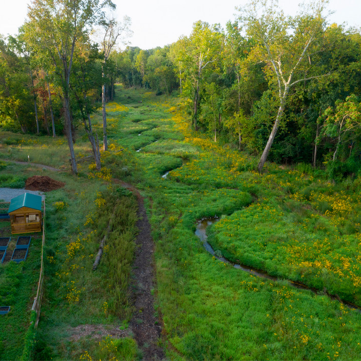
Baker, who researched the Eco-Corridor project as a student, explains that before the project began, the corridor was a weedy, overgrown half-mile stretch through which Little Westham Creek cut a straight, narrow, and eroded channel that water rushed through after heavy rains, carrying sediments and debris to the James. Today, the creek flows through a meandering series of s-curves that slow its progress and reduce erosion. During flooding events, the water spreads out naturally over a restored flood plain, slowing down and dropping sediments and nutrients to nurture the trees and the many native plants that have been added.
Protecting UR’s water resources
Eco-Corridor benefits:
- Restored stream channel
- Reduced erosion
- Improved floodplain function
- Expanded wildlife habitat
Living shoreline pilot project goals:
- Stabilize eroding banks
- Slow stormwater runoff
- Reduce sediment entering the lake
- Improve habitat for native species
- Support long-term water-quality goals
“I remember being able to walk around and hear birds without any other noise. It definitely calms your mind.”
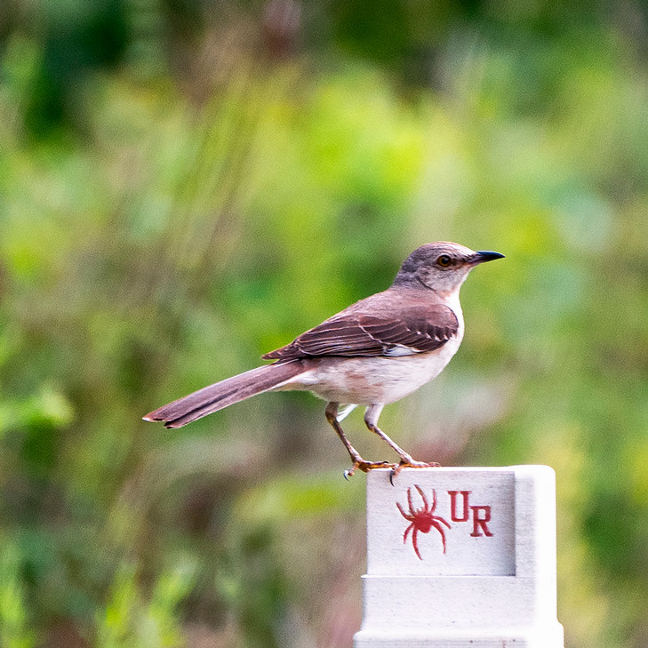
The benefits extend beyond the strictly environmental, too. The Eco-Corridor now provides an ongoing, experiential setting for student volunteers and researchers. And its walking path is a magnet for strollers, runners, dog walkers, and birders, testament to the restorative power of natural settings.
Anna Voit, ’24, is another student volunteer who did water sampling in the Eco-Corridor. “It was very nice to have a period every two weeks where I forced myself to get out into nature,” she says. “I remember being able to walk around and hear birds without any other noise. It definitely calms your mind.”
A similar, multifaceted approach is shaping the upcoming Westhampton Lake bank-erosion project. Tentatively scheduled for the summer of 2027, it will address erosion where one of the lake’s two feeder streams enters near Pitt Field, home of Spider baseball. A key element of this work will be a living shoreline some 200 feet long and extending about 15 feet into the lake that will help slow the flow of incoming water and stabilize the eroding bank. It will be planted with native grasses, shrubs, aquatic plants, and trees to provide natural beauty and essential habitat.
“I think people are going to love it,” Andrejewski says. “We’ve never done anything like this. It’s going to be an aesthetic and ecological improvement, and we’ll be eager to hear what folks think about it.”
It’s also a pilot project, “testing the waters,” Andrejewski says, as the university begins shaping a comprehensive approach to managing the lake over the long term. “The lake is beautiful, but it also performs a lot of really critical functions, so the more we can take care of it here, the better it is for us.”